
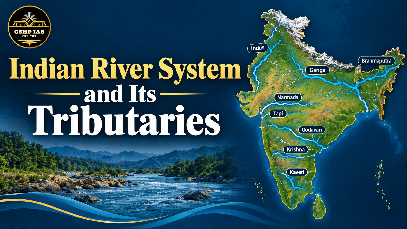
Indian Rivers and Their Tributaries: A Guide for PCS Aspirants
India’s river systems shape its geography, agriculture, economy, and culture. For PCS aspirants, this topic appears regularly in both Prelims and Mains, especially in questions on physical geography, water resources, and regional development. Understanding rivers along with their tributaries, origins, and important projects can earn you easy marks.
Classification of Indian Rivers
Indian rivers are broadly divided into two groups:
Himalayan Rivers: Perennial, fed by glacial melt and rainfall. They form large basins and have deep gorges and meanders in the plains.
Peninsular Rivers: Mostly seasonal, dependent on monsoon rainfall. They flow through older, harder rock and have comparatively stable courses.
Rivers are also grouped by drainage: those flowing into the Bay of Bengal (Ganga, Brahmaputra, Mahanadi, Godavari, Krishna, Kaveri) and those flowing into the Arabian Sea (Indus, Narmada, Tapti, Mahi, Sabarmati).
The Himalayan River Systems
1. The Indus System
The Indus originates near Lake Mansarovar in Tibet and enters India in Ladakh. Its major tributaries are the Jhelum, Chenab, Ravi, Beas, and Sutlej, along with the Zanskar, Shyok, and Shigar on the left and right sides in the upper course. Under the Indus Waters Treaty (1960), India has rights over the eastern rivers (Ravi, Beas, Sutlej), while Pakistan has rights over the western rivers (Indus, Jhelum, Chenab).
2. The Ganga System
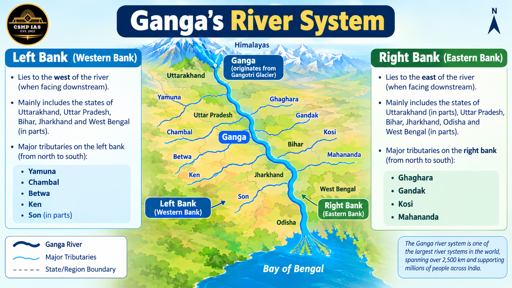
The Ganga is formed at Devprayag by the confluence of the Bhagirathi (from Gangotri Glacier) and the Alaknanda. It is the longest river in India and has been declared the national river. Its important tributaries include:
Right bank: Yamuna, Son, and the Chambal, Betwa, and Ken (which join through the Yamuna).
Left bank: Ramganga, Gomti, Ghaghara, Gandak, Kosi, and Mahananda.
The Yamuna rises from the Yamunotri Glacier and meets the Ganga at Prayagraj (Allahabad). The Ghaghara is the largest tributary of the Ganga by volume. The Kosi, known as the “Sorrow of Bihar,” is infamous for flooding and course changes.
For students from Uttar Pradesh, note that the Gomti flows through Lucknow, the Ghaghara and Rapti drain eastern UP, and the Ramganga flows through Rohilkhand.
3. The Brahmaputra System
The Brahmaputra rises near Mansarovar in Tibet, where it is called Tsangpo. It enters India in Arunachal Pradesh as the Siang/Dihang, becomes the Brahmaputra in Assam, and enters Bangladesh as the Jamuna. Major tributaries include the Subansiri, Manas, Lohit, Dibang, Kameng, and Teesta. Majuli, the world’s largest river island, lies on this river.
The Peninsular River Systems
1. East-Flowing Rivers
These form deltas at the Bay of Bengal.
Mahanadi: Rises in Chhattisgarh; tributaries include Seonath, Hasdeo, Mand, Ib, and Tel. Hirakud Dam is built on it.
Godavari: The longest peninsular river, known as the “Dakshin Ganga.” It rises at Trimbakeshwar in Nashik. Major tributaries are Pranhita, Indravati, Manjra, Sabari, and Penganga.
Krishna: Rises near Mahabaleshwar; tributaries include Bhima, Tungabhadra, Koyna, Ghataprabha, and Malaprabha.
Kaveri: Rises at Talakaveri in Karnataka; tributaries include Hemavati, Kabini, Bhavani, Amaravati, and Noyyal. The Kaveri water dispute among Karnataka, Tamil Nadu, Kerala, and Puducherry is a frequent exam topic.
2. West-Flowing Rivers
These form estuaries instead of deltas because they flow through rift valleys.
Narmada: Rises at Amarkantak and flows through a rift valley. Tributaries include Hiran, Burhner, and Tawa. The Sardar Sarovar Dam is on this river.
Tapti: Also rises in the Satpura range (Betul, Madhya Pradesh) and flows through a rift valley parallel to the Narmada.
Others: Sabarmati, Mahi, and Luni (a river of inland drainage in Rajasthan that disappears in the Rann of Kutch).
Important Concepts for PCS Exams
1. Panch Prayag (Confluences in Uttarakhand)
Prayag
Rivers Meeting
Key Point
Vishnuprayag
Alaknanda + Dhauliganga
First confluence on the Alaknanda
Nandprayag
Alaknanda + Nandakini
Second confluence
Karnaprayag
Alaknanda + Pindar
Third confluence
Rudraprayag
Alaknand
a + Mandakini
Fourth confluence
Devprayag
Alaknanda + Bhagirathi
Final confluence where the Ganga is formed
2. Other Important Concepts
Concept
Explanation
Examples / Exam Relevance
Drainage Patterns
The arrangement of streams and rivers in a region
Dendritic, trellis, radial, and rectangular patterns are commonly asked
Antecedent Drainage
Rivers that existed before the Himalayas rose and kept cutting through the uplifting land
Indus, Sutlej, Brahmaputra
Delta vs Estuary
East-flowing rivers form deltas; west-flowing rivers form estuaries
Delta: Sundarbans (Ganga-Brahmaputra). Estuary: Narmada, Tapti
River Linking
National River Linking Programme to transfer water from surplus to deficit areas
Ken-Betwa Link Project is the first major project, benefiting Bundelkhand in UP and MP
Namami Gange
Flagship mission for cleaning and rejuvenating the Ganga
Frequently asked in current affairs and Mains
3. Drainage Patterns in Detail
Pattern
Shape
Where Found
Dendritic
Tree-like, branching
Northern plains, most common in India
Trellis
Tributaries join at right angles
Folded mountain regions (e.g., Singhbhum)
Radial
Rivers flow outward from a central high point
Amarkantak range, Girnar
Rectangular
Streams meet at right angles due to faults or joints
Vindhyan region, Kaimur
Tips to Prepare
Use maps: Practice marking rivers, origins, and confluences on a blank map of India.
Make tables: Create a table of river, origin, length, tributaries, and associated dams or cities.
Focus on your state: UP PCS aspirants should study the Ganga, Yamuna, Gomti, Ghaghara, Ramganga, Rapti, Sai, and Betwa in detail.
Link with current affairs: Floods, river pollution, interstate disputes, and river projects often appear in the news and in Mains questions.
Use mnemonics: For Indus tributaries, remember “Jhelum, Chenab, Ravi, Beas, Sutlej” in west-to-east order.
Sample Questions
Which is the largest tributary of the Ganga by volume?
The Kosi river is known as the “Sorrow of ___.”
Discuss the significance of the Himalayan rivers for India’s economy. (Mains)
Conclusion
Rivers are the lifelines of India, and their study connects geography with agriculture, history, economy, and environment. Rather than simply memorizing names, understand how rivers originate, which tributaries join them, and why they matter. With regular map practice and revision, this topic can become one of your strongest scoring areas in the PCS exam.